Public Map Platform at GeoCom 2024

The Royal Geographical Society is steeped in history and knowledge about mapping. So, it was fitting that it was there that Professor Flora Samuel addressed an audience of geospatial professionals at GeoCom 2024 this week (28th November 2024).
GeoCom is the Association for Geographic Information’s flagship event and this year’s conference theme was Connecting Communities – the geospatial perspective.
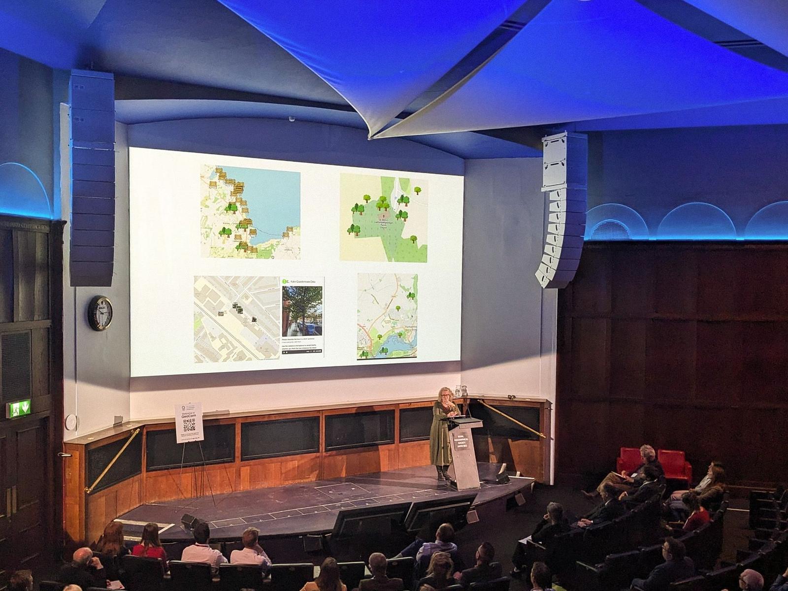
GeoCom brings together the geo-community through networking sessions, panel discussions, industry expert presentations and thought leadership. Flora spoke about Public Map Platform on a panel, along with speakers from City Science, World Forest ID, and London School of Economics, exploring geospatial to empower connections. It was a privilege for us to share our work with such an interested and engaged audience.
Photo credit: Liz Fox-Tucker