Quick and Easy Stats
Map statistical data with a few easy clicks. Simply choose your variable, classification scheme and colours for rich maps.
Try it


Public Map began as a research collaboration between the University of Cambridge, Cardiff University, Bangor University and Wrexham University, exploring how planning our places could become fairer, more inclusive and better informed through the use of mapped data.
It has since evolved into a shared digital platform that turns lived experience into evidence for better decisions.

It works by layering existing social, economic, environmental and cultural data with community-collected data, creating rich, hyper-local insight.

Our data maps can be layered to deliver multimedia evidence of impact and can be used anywhere.
Around the platform, we work with communities and organisations to activate it through flexible services that deliver value at local, regional and national scales.

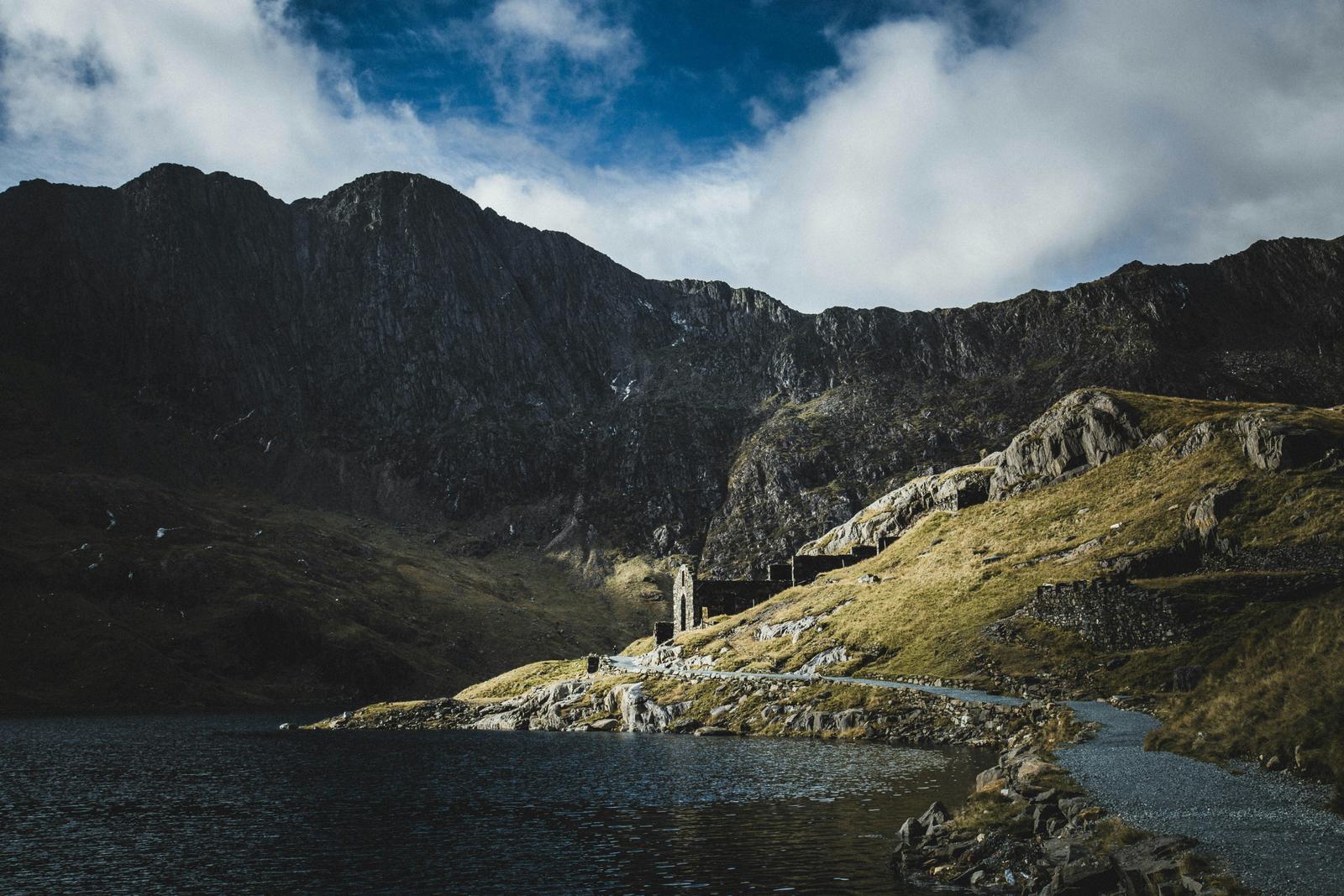
Public Map partnered with Eryri National Park to engage young people in shaping the Park’s Local Development Plan and Cynllun Eryri. Through co-designed mapping sessions in schools, youth clubs and community events, we captured how young people experience and value their landscape. The insights are informing the Park’s Carbon Literacy report and statutory plans, embedding youth voices in decisions about Eryri’s future.
Public Map partnered with the Anglesey Food Partnership to deliver an interactive workshop that mapped shared strengths, skills, and opportunities across member organisations.
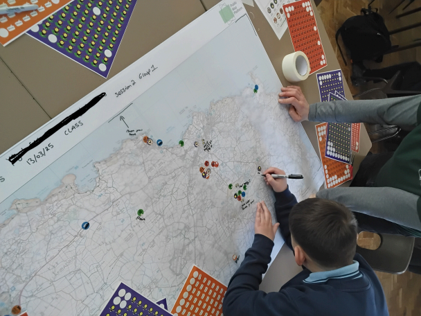
Public Map has been working with Welsh Baccalaureate students at Ysgol Uwchradd Caergybi to explore how their project work can be digitally mapped and shared through the platform, strengthening both their learning outcomes and the local evidence base.


Public Map Platform is our spatial analysis tool...
Public Map is richest and most detailed in Ynys Môn / Anglesey, where the platform has been developed and tested with local partners.
New mapping epicentres are emerging in Cambridge, Wrexham and Pontypridd, with more communities beginning to contribute.
For the most immersive experience, we recommend exploring Public Map on desktop.
Map statistical data with a few easy clicks. Simply choose your variable, classification scheme and colours for rich maps.
Try itThe catalogue makes finding and mapping hundred of layers quick and easy.
Explore layersExplore an existing library of map projects curated by theme or made by the public.
Explore projectsUse Public Map to access Open Street Map’s extensive mapping database to create your own customised map of local community assets.
Launch the PlatformAdd videos and images to your community maps to add depth and make them come alive.
Explore media
Map symbols needn't be boring. Make them come alive with fun animations which you can create yourself by following our easy guide or choose from those already created.
Explore symbolsPublic Map is for anyone who wants to understand how places work or wants to contribute to an understanding of their place. Our platform is aimed at four core audiences.
Governments, local authorities, planners, health boards, strategic partnerships, professional bodies, and think tanks working at local, regional, and national scales.
Make better decisions with shared, trusted evidence.
Governments, local authorities, planners, health boards, strategic partnerships, professional bodies, think tanks and private/commercial businesses working at local, regional, and national scales.
Engage communities, build trust, and deliver place-based projects with real insight.
Primary and secondary schools, colleges, universities and youth groups.
Teach mapping as a practical skill for understanding and shaping local places.
People of all ages who want to share something, find out specific information, or engage in decisions about where they live.
Share lived experience and help shape decisions about places you care about.
We're developing a flexible suite of services shaped collaboratively with the people and organisations using them.
Impact mapping over time, bespoke mapped data reports, Community Mapper services to gather data, airborne assessment data (satellite and drone) cross-checked by Community Mappers on the ground, engagement activities to build trust and knowledge exchange, and mapper training and support.
Rigorous, map-based research written up in formats that support real-world action, funding bids, reporting, and long-term planning.
Curriculum-ready resources, lesson plans, and training that use mapping to build local understanding, critical thinking, citizenship and data literacy.
Designed programmes that help organisations reach more people, gather representative insight, and build trust through transparent participation.
Mapper training, bespoke mapped data reports, mapped data as evidence of need for funding applications, community mapper services to gather data and stories, and facilitated engagement events.
Impact mapping over time, an improved understanding of place demonstrated through our map overlays, and mapping and data training.
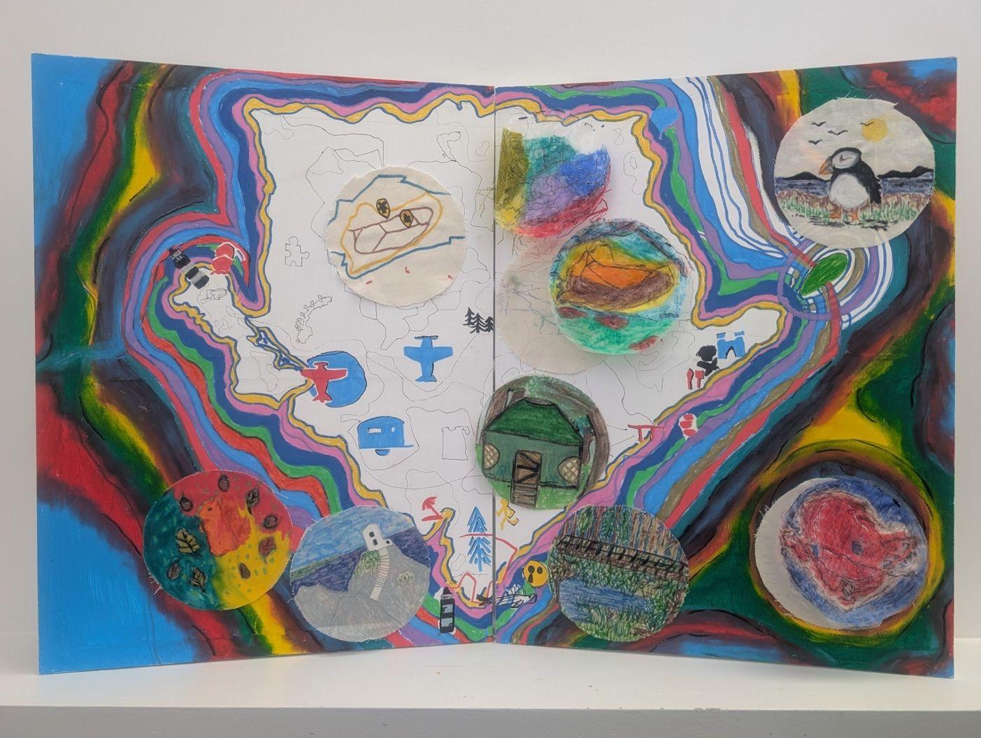
Home Edders become mappers is a project that empowers young people who are home educated to have their say about where they live by becoming Mappers themselves. In this blog, Kim Hutchinson, a Community Mapper on Public Map, explores how by delivering a series of free digital mapping workshops with young Home Edders, they are able to record their individual and collective experiences of Ynys Môn through visual art.

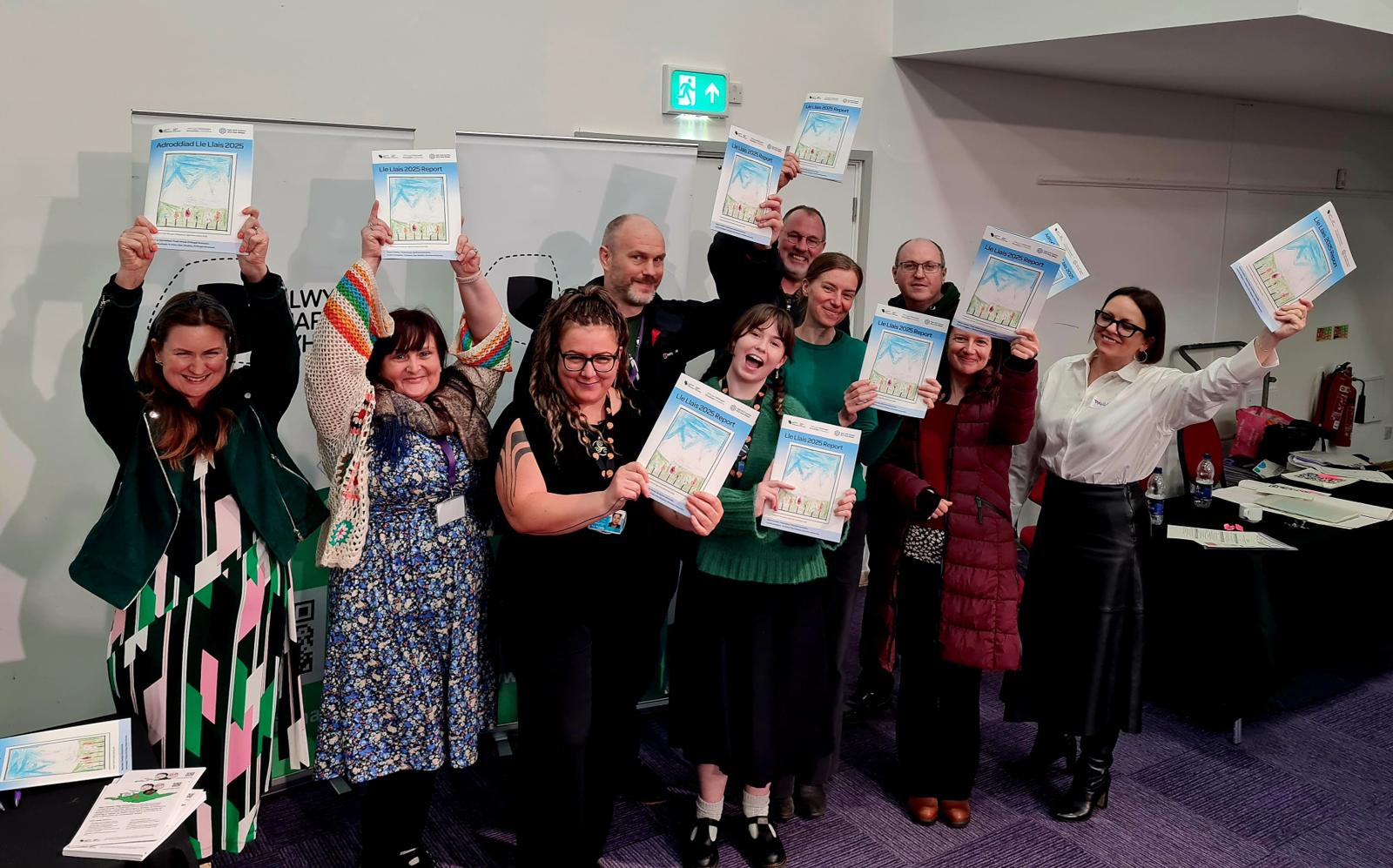
Our Lle Llais research report, funded by ACE Hub Wales, was launched at the Learning Well — Trauma and ACE-Informed Education in Wales event on Thursday 12 March 2026, bringing children’s voices to the centre of a national conversation about TrACE-informed practice in schools.


“I just came out of the all-Wales Local Nature Partnership meeting today and a few people were talking about how exciting the Public Map project is and how it could be a 'game-changer' for Local Nature Partnerships in the future! I know everything is stressful right now but just wanted you to know that people are very bought-in and cheering for the project to succeed.”
Aurora Hood
Local Wildlife Officer, Cyngor Ynys Môn
“We have had so much fun being part of this project, all the pupils have been engaged with all the activities from mapping their journey to school, mapping local areas that are important to them and going on a trip to taking part in the personal air sensor research - this information was so interesting! Our air sensor in the classroom has provided very interesting data too where we have discovered that CO2 is quite high, so we have been trying to lower it in different ways such as opening the door, buying plants, using an air purifier. All the staff that we have worked with have been so great and the workshops we've had have been so fun and the children have learned so much! We look forward to having more sessions with the environmental researchers in the new year. Diolch.”
Mrs Mari Edwards
Ysgol Gymraeg Morswyn
“What's great about your project in particular is that it is open source. in our world of digital boundaries and bubbles and spaces we live, it's great to be able to share and link information like this across services so that people can find things where they are rather than having to drag themselves digitally to ‘somewhere new’.”
Ben Freeman
Manager, DASH Ceredigion
We will only use your details to keep you updated on the project.
Public Map is one of four Green Transition Ecosystems, part of Future Observatory: Design the Green Transition, the Design Museum's national research programme for the green transition, funded by the Arts and Humanities Research Council (AHRC), part of UK Research and Innovation (UKRI). Led by the Universities of Cambridge, Cardiff, Wrexham and Bangor. This website does not use cookies and does not collect personally identifying information.