The Project
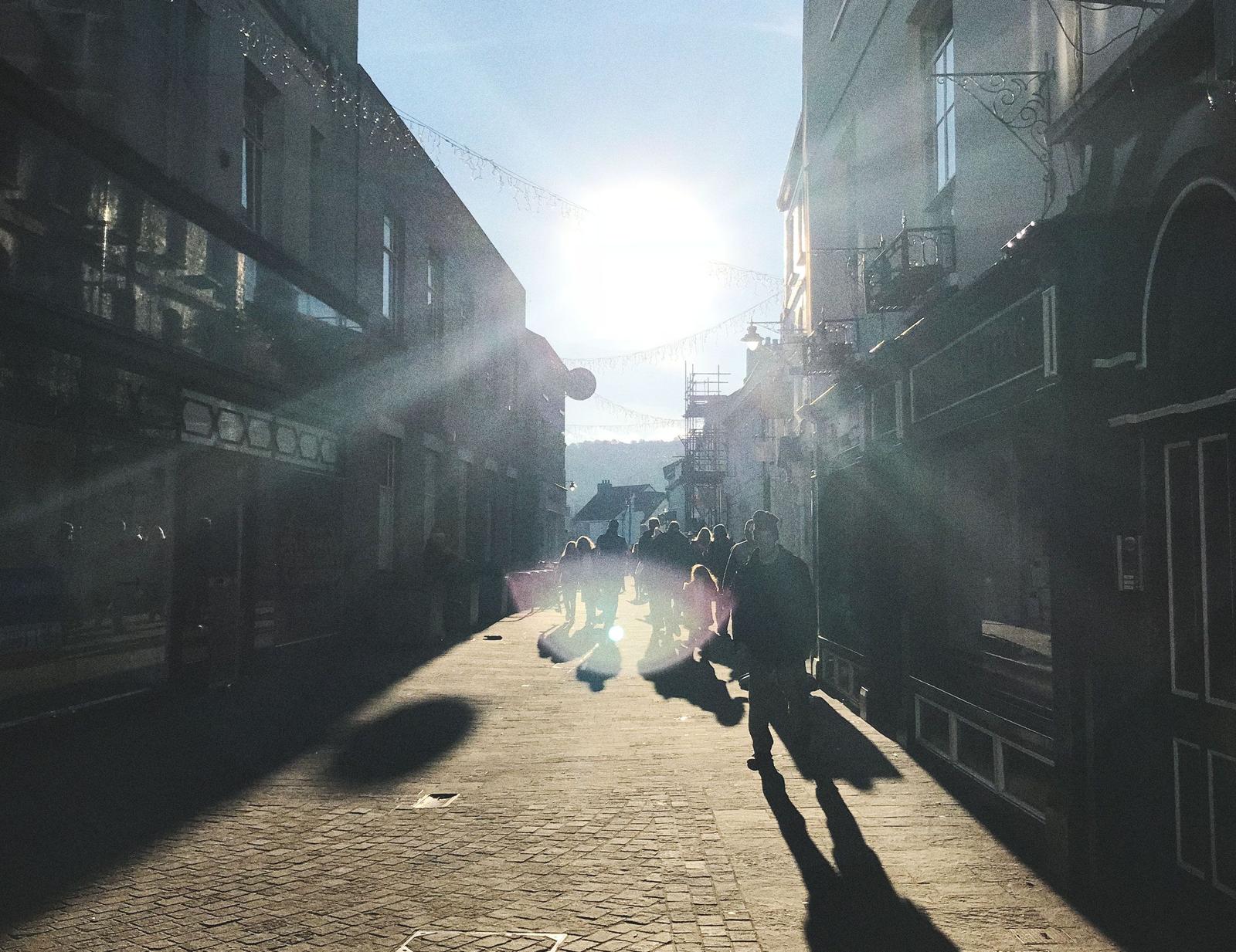
It’s a familiar tale: communities across the UK facing economic and social decline. Empty shops, shattered windows, a fading sense of pride, and neighbours who feel more like strangers.


What’s Going Wrong?
We have planning systems that are meant to help us create places that improve life. But they aren't doing the job...
How can we improve things?

Our Approach
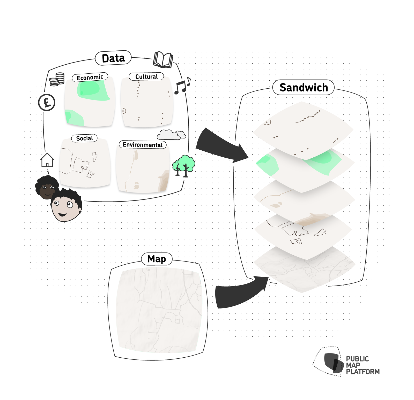
Our goal is to create a mapping tool that captures and highlights what truly matters to communities, empowering them to use it to influence how their places are planned and developed. To achieve this, we combine existing data sources with new data generated through community engagement activities. With so much data to consider, we’ve organised it into several clear groups that will add their own data layers to the map:
Cultural
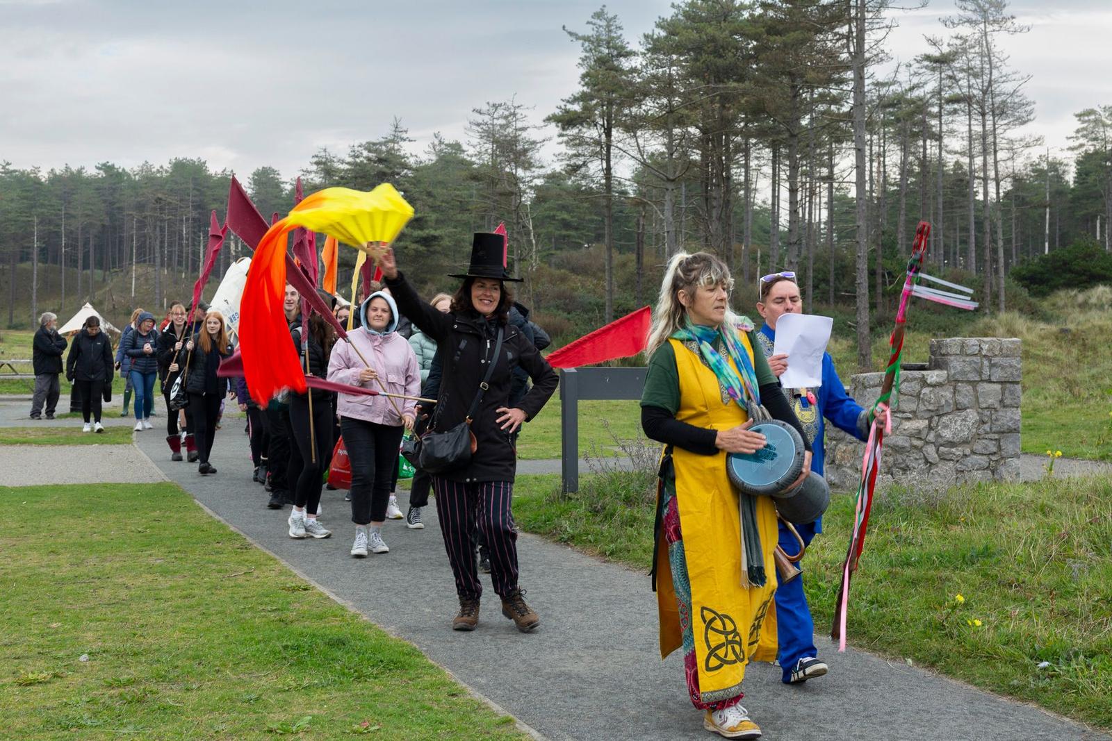
We are calling on the arts and humanities to foster positive behaviour change. A network of ‘bards’ is being developed—performers who encourage people to respond artistically, such as writing songs and poetry about the changing environment, while inspiring them to contribute to social value maps of their places. This builds on a methodology developed for Community Consultation for Quality of Life project (www.ccqol.org).
Environmental
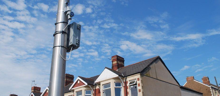
A network of community scientists has been created to gather data for environmental layers, focusing on issues like air quality, biodiversity, and water quality. We’ve been scraping existing environmental data from online databases while also running citizen science projects in collaboration with schools.
Census and Administrative
Existing data sets are being gathered and examined to create a rich, multi-dimensional picture of our pilot location, including economic insights. We’re also finding innovative ways to spatialise non-spatial data—transforming information not originally designed for maps into something that can be visualised and understood geographically. By collaborating with local authorities, we’re helping shape how data is collected so it can meaningfully contribute to this project.
Objectives
We aim to showcase an innovative approach to the planning of our built environments, guided by the following overarching objectives:
To involve children and young people in decision making about their places;
To support the development of a planning system based on maps and data made with communities so decisions are made on evidence;
To develop trustworthy and intelligible social, environmental, cultural and economic maps that reveal inequality and chart progress towards more sustainable and resilient places;
To support local authorities in moving towards a digital data map based planning system;
To radically improve the way community consultation on planning is done across the UK.
Where Does it Start?
A place with a desire for resilience and renewal
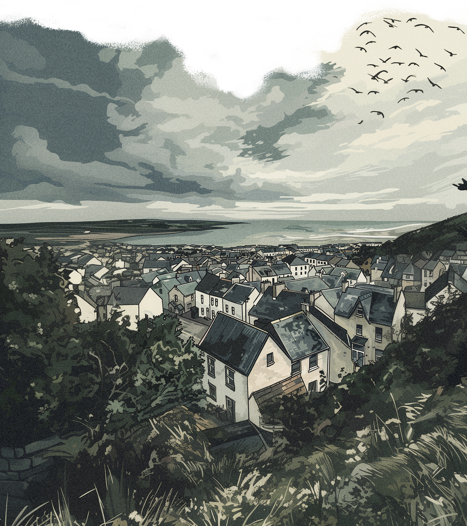
The Isle of Anglesey is known as Gwlad y Medra (land of the can-do). While facing economic challenges, encapsulates the essence of many communities striving for resilience and renewal. The project has been welcomed with open arms by the island’s local authorities, eager to give their communities a chance to improve their wellbeing.
In a country that leads with progressive legislation
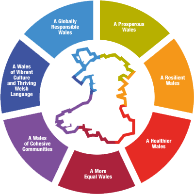
Embedded within Welsh legislation is the forward-thinking Future Generations Act; a framework to shape a better and sustainable tomorrow for the people of Wales. These conditions offer an ideal scenario and location to test our platform's potential for revitalisation and inclusive growth.

Stay updated by subscribing to our mailing list
We will only use your details to keep you updated on the project.


